
Seoul Subway Explained: 578 Stations, and Only 103 Let You Change Lines
Nineteen rail lines run through Seoul and ten different companies operate them. Yet 82% of the 578 stations serve a single line. Where you can transfer is what really shapes your route.
| How many lines | Nineteen rail lines run through Seoul. Only nine of them carry a number. |
|---|---|
| How many stations | 578 once you remove duplicates across those lines. |
| Where you can transfer | 103 stations. The other 475 serve one line only. |
| The busiest interchange | Gimpo Airport, with five lines. Seoul Station has four. |
| The longest line | Line 1 with 102 stations, 1.6 times the second longest. |
| How many operators | Ten companies. Only the fare system is unified. |
1. Nineteen rail lines run through Seoul
2. Ten operators, one fare
3. Only 103 of the 578 stations let you change lines
4. The busiest interchange is not Seoul Station
5. Where the stations actually are
6. Line 1 needs a little care
7. Line 2 is the one that loops
8. In practice you use three lines
9. The lines that leave the city
10. The 88 two-line stations
11. Fares, in outline
12. Coming in from the airport
13. You will want a map app
14. Station names cause confusion
15. Reading the map and the platform
16. When the bus is the better answer
17. Luggage, children and step-free routes
18. Choosing where to stay
19. Common misunderstandings
20. How it compares with Busan
21. What the numbers do not tell you
22. A first day on the system
23. Putting it together
The hard part of the Seoul subway is not the line numbers. It is working out where you can actually change lines. We counted all 578 stations and found only 103 of them let you switch. The rest serve a single line. That one fact shapes more of your Seoul itinerary than most people expect.
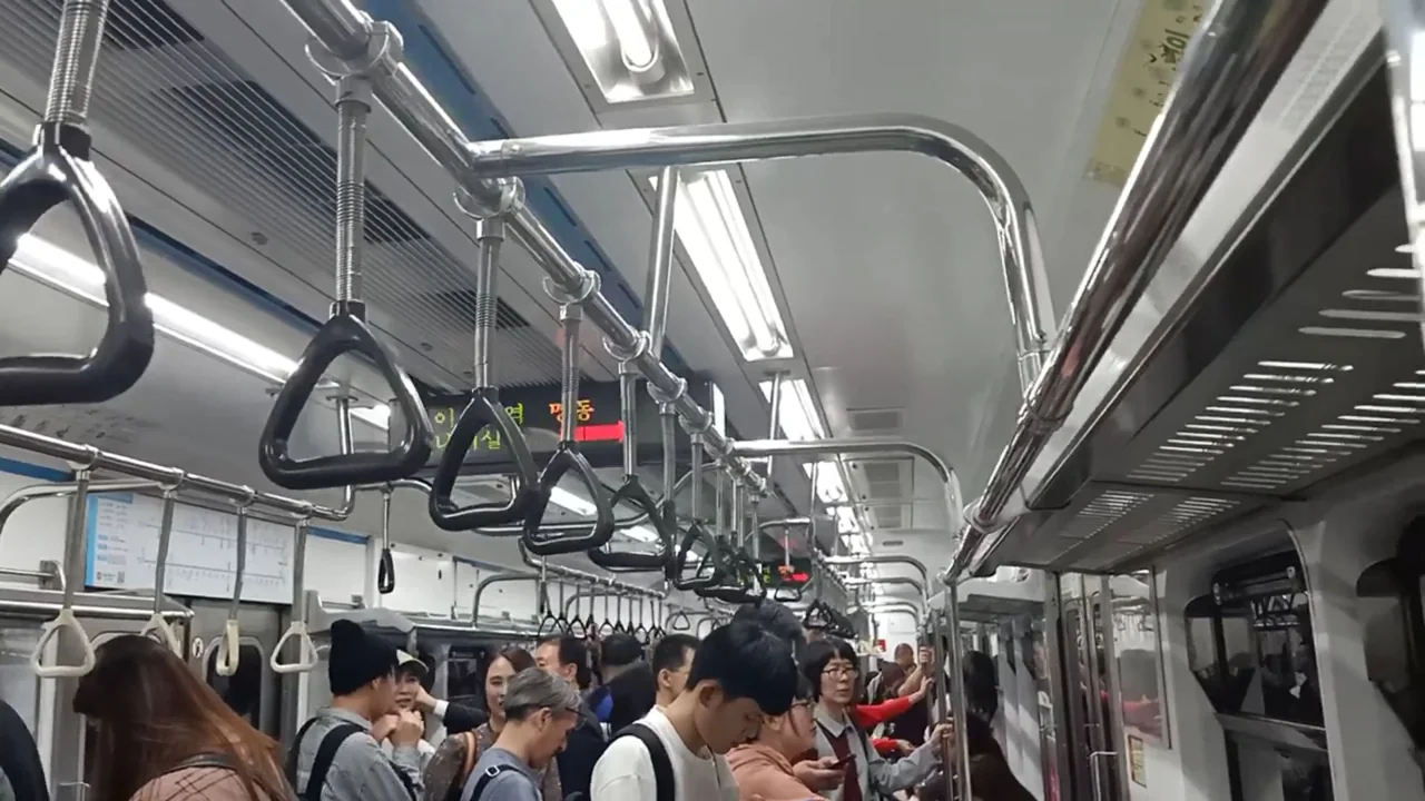
1. Nineteen rail lines run through Seoul
We pulled the full route data and kept every line that crosses the Seoul city boundary, dropping intercity services like KTX and the slower long-distance trains.
| Line | Stations (full route) |
|---|---|
| Line 1 | 102 |
| Suin-Bundang | 63 |
| Line 2 | 62 |
| Line 4 | 57 |
| Line 5 | 55 |
| Gyeongui-Jungang | 54 |
| Line 7 | 53 |
| Line 3 | 44 |
| Line 9 | 38 |
| Line 6 | 38 |
| Gyeongchun | 25 |
| Line 8 | 24 |
| Seohae | 21 |
| Sinbundang | 16 |
| AREX airport railroad | 12 |
| Ui-Sinseol | 12 |
| Sillim | 11 |
| Gimpo Gold | 10 |
| GTX-A | 6 |
Only nine lines carry a number. The other ten go by name.
Line 1 is unusually long
At 102 stations it runs 1.6 times the length of the second longest, Suin-Bundang with 63. It stretches far north and far south into Gyeonggi Province, and the Seoul portion is only part of it.
That is also why Line 1 appears to split into several arms on the map. One line, several terminals.
Numbers and names are mixed
This is where first-time riders come unstuck. Lines 1 through 9 are numbered. Gyeongui-Jungang, Suin-Bundang, Gyeongchun, Seohae, Sinbundang, AREX, Ui-Sinseol, Sillim and Gimpo Gold are named.
Looking for a number on the map and failing to find one is normal. More than half the lines do not have one.
What “subway” covers here
Strictly, Lines 1 to 9 are the Seoul subway and the named lines are regional commuter rail. From a rider’s point of view the difference does not exist: same card, same gates, same fare calculation.
2. Ten operators, one fare
Those nineteen lines are not run by a single company. Counting the operators gives ten.
- Seoul Metro, the city operator, covers the Seoul portions of Lines 1 through 9
- Korail, the national rail operator, covers the Gyeonggi portions of Lines 1, 3 and 4 plus Gyeongui-Jungang, Suin-Bundang, Gyeongchun, Seohae and AREX local trains
- Seoul Line 9 Corporation runs Line 9
- Incheon Transit runs the Incheon portion of Line 7
- Separate companies run Sinbundang, Ui-Sinseol, Sillim, Gimpo Gold, the AREX express and GTX-A
The same line can change hands mid-route
Lines 1, 3 and 4 are operated by one company inside Seoul and another outside it. Line 7 is split between Seoul and Incheon.
As a passenger you cannot tell where the handover happens. The train continues, the platform is the same, and there is one set of gates.
The fare is unified
Different operators, one payment based on total distance. Transferring from Line 1 to Gyeongui-Jungang does not start a new fare.
This is the part of the Seoul system that works best. You can ride it for a week without ever learning that ten companies are involved.
The gates are joined up too. At most interchanges you do not tap out and back in when switching lines. A handful of stations are exceptions.
Two exceptions worth knowing
The AREX express train is a separate product with reserved seats and its own ticket, even though it shares the name with the local AREX service.
Sinbundang adds a surcharge on top of the standard fare. Fare policy changes over time, so confirm before you travel.
Tap out as well as in. The single fare across ten operators only works if the system sees where you got off. Miss the tap on the way out and your next ride starts a fresh fare.
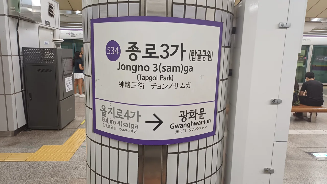
3. Only 103 of the 578 stations let you change lines
Counting the stations on those nineteen lines without duplicates gives 578. Here is how many lines serve each one.
| Lines serving | Stations |
|---|---|
| 5 | 1 |
| 4 | 5 |
| 3 | 9 |
| 2 | 88 |
| 1 | 475 |
| Total | 578 |
103 transfer stations, 18% of the network. The other 475 serve one line and nothing else.
This is what decides your route
If your destination is on a different line, you must pass through one of those 103. Two places can look close on a map and still take a long time, because the nearest interchange is somewhere else entirely.
Most of the “why did that take 50 minutes” moments in Seoul come from this. Straight-line distance matters less than where the interchanges sit.
Only nine stations join three lines
Two-line stations are reasonably common at 88. Three-line stations drop sharply to nine.
They include Hoegi, Choji, Jongno 3-ga, Yeonsinnae, Sinseol-dong and Suseo. These nine are where you make a real change of direction.
Eighty-two per cent are single-line
475 stations. From any of them, reaching another line means travelling to an interchange first.
This matters when choosing where to stay. Being close to a station and having options are two different things.
4. The busiest interchange is not Seoul Station
Exactly one station is served by five lines: Gimpo AirportMap.
| Lines | Station | Which ones |
|---|---|---|
| 5 | Gimpo Airport | Line 5, Line 9, AREX, Gimpo Gold, Seohae |
| 4 | Cheongnyangni | Line 1, Gyeongui-Jungang, Gyeongchun, Suin-Bundang |
| 4 | Wangsimni | Line 2, Line 5, Gyeongui-Jungang, Suin-Bundang |
| 4 | Seoul Station | Line 1, Line 4, Gyeongui-Jungang, AREX |
| 4 | Daegok | Line 3, GTX-A, Gyeongui-Jungang, Seohae |
| 4 | Gongdeok | Line 5, Line 6, Gyeongui-Jungang, AREX |
Why an airport station
Gimpo Airport sits on the western edge of the city where several corridors converge. Lines serving the airport arrive here, and so do lines heading out towards Gimpo and Bucheon.
Even without a flight, it is where you change direction on the west side. The Seohae line arriving here is what pushed it to five.
Seoul Station has four
Line 1, Line 4, Gyeongui-Jungang and AREX. It is the main intercity rail terminal, so people assume it tops the list. Counting metro lines only, it does not.
Cheongnyangni and Wangsimni
Both are eastern pivots. Cheongnyangni picks up the Gyeongchun line towards Chuncheon, which is how you reach Nami Island. Wangsimni gives you Line 2 and Line 5 together, plus two of the named lines.
Staying in the eastern half of northern Seoul, you will see these two names often. Both are also stops for intercity trains, so they double as departure points for trips out of the city.
Gongdeok is underrated
Line 5, Line 6, Gyeongui-Jungang and AREX. It has as many lines as Seoul Station and much less traffic.
Because AREX stops here, arriving from Incheon Airport and switching to Line 5 or 6 works well without going all the way to Seoul Station.
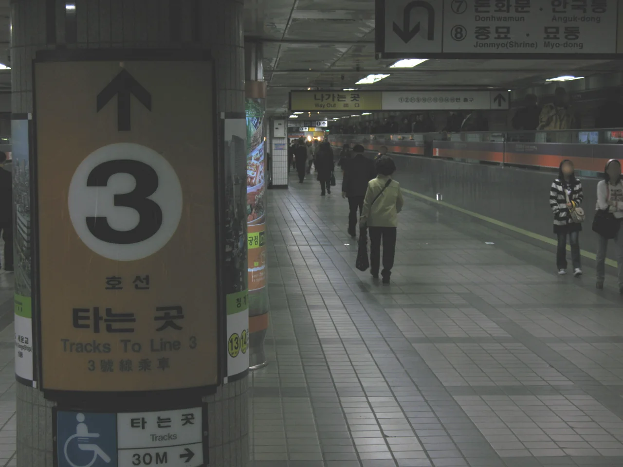
5. Where the stations actually are
We measured 428 subway station locations against Seoul City Hall.
| From City Hall | Stations | Share |
|---|---|---|
| Within 2km | 21 | 4.9% |
| 2-5km | 46 | 10.7% |
| 5-10km | 116 | 27.1% |
| 10-20km | 158 | 36.9% |
| 20-40km | 87 | 20.3% |
The largest group, 158 stations, sits between 10 and 20km out. That is outside the centre, not in it.
The centre has few stations
Only 21 within 2km of City Hall, about 5% of the total. The historic centre is compact and the lines through it are packed tightly together.
They are close to each other, though. City Hall station is 138 metres from City Hall itself.
Most stations are well outside Seoul
245 stations, 57% of the total, lie beyond 10km. The network reaches deep into Gyeonggi Province and Incheon.
The furthest is Knowledge Information Complex in Incheon at 36.1km. Reaching it from City Hall is a journey in its own right, and nothing on a visitor itinerary requires it.
What this means for a visitor
Almost everything you came to see is within 10km of City Hall, and there are 183 stations inside that radius.
So of 578 stations you will realistically use fewer than a third. The map looks overwhelming; the part that concerns you is much smaller.
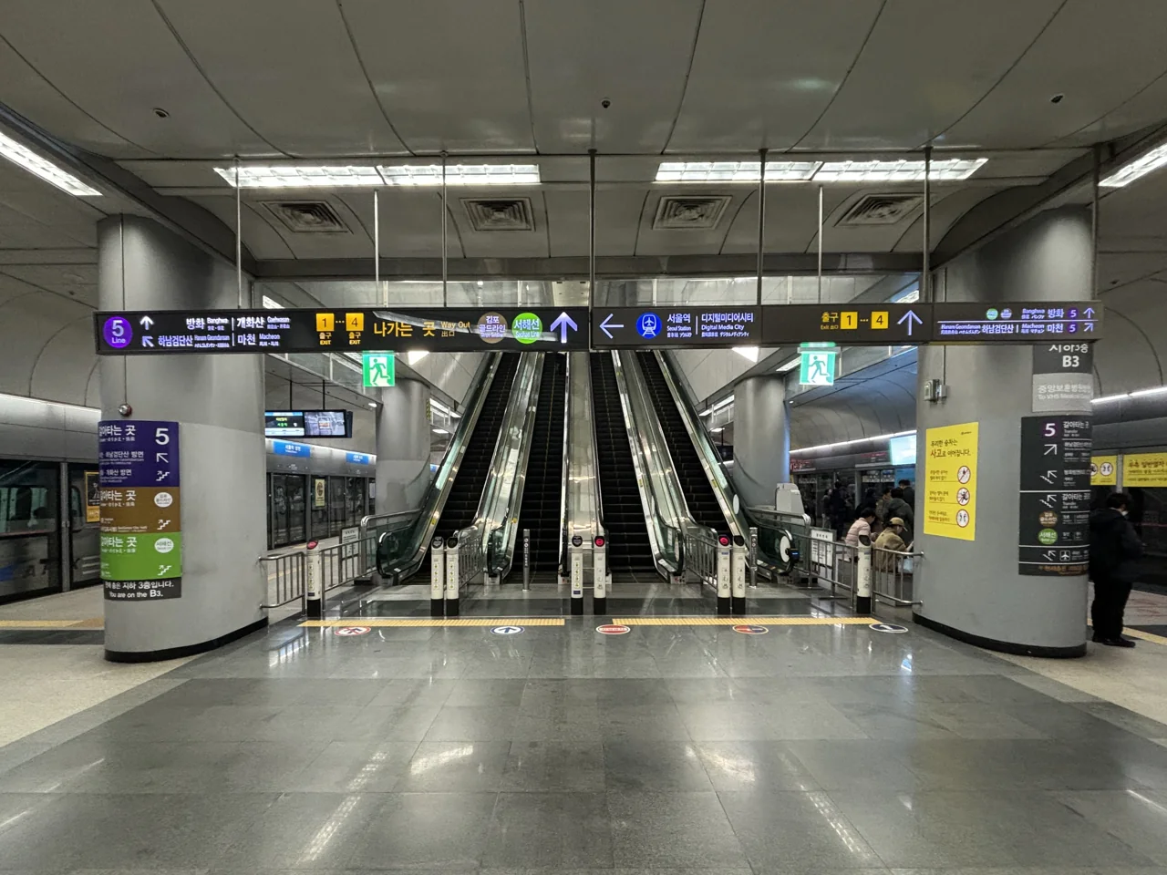
6. Line 1 needs a little care
The longest line at 102 stations, and the one that catches out first-time riders most often.
It has several terminals
The route divides partway along. That produces the situation where two people board the same platform and end up in different provinces.
Trains display their destination on the front and side, and the platform board shows the terminus of the next arrival. On Line 1 you have to read it.
Most of it is outside Seoul
Of the 102 stations, only a portion are in the city. The line stretches far north and far south, so most of what you see on the map is Gyeonggi Province.
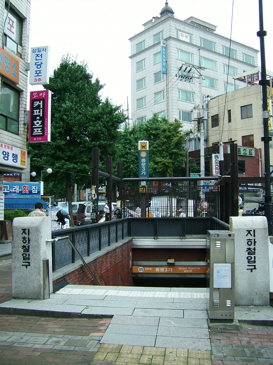
The stretch you will actually use runs through Seoul Station, Jongno 3-ga, Dongdaemun and Cheongnyangni. That is four stations out of 102.
The operator changes partway
Seoul Metro handles the city section and Korail the rest. Riders notice nothing. The train continues and the fare is calculated once.
It meets a lot of other lines
Because it crosses the historic centre north to south, Line 1 intersects with many others: Seoul Station, Jongno 3-ga, Cheongnyangni, Sinseol-dong, Hoegi, Sindorim and Yeongdeungpo.
Sindorim, where Line 1 meets Line 2, is one of the busiest stations in the city. It funnels the southwest into the centre.
There are express services
Some sections run express trains that skip stations. Check that your station is served before boarding. The platform display marks which type is arriving, and operating hours change over time, so use an app.
7. Line 2 is the one that loops
62 stations, the second longest, and the only circular line in the network. That changes how you use it.
Missing your stop is not fatal
Keep riding and you come back around. On any other line you would cross to the opposite platform; on Line 2 you can simply go the long way.
It does take time. A full loop is more than 48 stations. Over a short distance, doubling back is faster.
It passes most of the well-known districts
HongdaeMap, Sinchon, Ewha, City Hall, Euljiro, GangnamMap and Jamsil are all on Line 2. One line connects most of the names you have heard of.
Staying near Line 2 means a single line covers a lot of ground.
Inner and outer loop
Directions are described as inner loop and outer loop, which is not intuitive at first.
The practical method is to read the next station on the platform display. If it matches what the app says, you are facing the right way.
Two branch lines
Besides the main loop there is a branch from Seongsu to Sinseol-dong and another from Sindorim to Kkachisan.
They appear in the same colour on the map but run as separate trains, sometimes from separate platforms.
It is crowded
Covering that much ground means carrying a lot of people. The Gangnam to Jamsil stretch and the Hongdae to City Hall stretch fill up first. Apps show car-by-car crowding, which is worth checking with luggage.
8. In practice you use three lines
Nineteen lines exist. The number you actually ride is much smaller.
Lines 2, 3 and 4
These three cover most sightseeing.
- Line 2 (62 stations). Hongdae, Sinchon, City Hall, Gangnam, Jamsil
- Line 3 (44). Gyeongbokgung, Anguk, Jongno 3-ga, Apgujeong
- Line 4 (57). Myeongdong, Hoehyeon, Seoul Station, Dongdaemun, Hyehwa
Palaces and hanok districts cluster on Line 3; markets and shopping on Line 4.
Between them these three have 163 stations, a high share of them inside the 10km ring.
Lines 5 and 6
Line 5 (55) reaches Gwanghwamun and Yeouido and crosses under the Han River to both eastern and western suburbs; Gimpo Airport is on it too, which is one reason it turns up in airport routings. Line 6 (38) arcs around the north through Itaewon and Mangwon, filling in districts Line 2 does not reach.
Line 9
38 stations with express services running east to west south of the river, linking Gangnam, Yeouido and Gimpo Airport quickly.
The express skips stations, so check yours is served.
When you use the rest
Line 1 mostly for interchanges. Gyeongui-Jungang and Suin-Bundang for trips out of the city. Gyeongchun for Nami Island and Gapyeong.
Ui-Sinseol, Sillim and Gimpo Gold barely intersect a visitor’s route at all. Together they total 33 stations, fewer than Line 4 alone. They exist to serve districts the older lines never reached, and seeing them on the map is not a sign you need them.
The short version
Learn Lines 2, 3 and 4 and most journeys resolve themselves. An app handles the rest when it comes up.
9. The lines that leave the city
The named lines do most of this work.
Gyeongui-Jungang
54 stations, the second longest of the named lines. It crosses Seoul east to west, running out towards Munsan in the northwest and Yangpyeong in the east.
Inside the city it calls at Seoul Station, Gongdeok, Hongdae, Wangsimni and Cheongnyangni. It shares track with AREX on part of its route, so you meet it coming in from the airport.
Suin-Bundang
63 stations, the longest named line. It runs from southeastern Seoul towards Suwon and Incheon, calling at Wangsimni, Cheongnyangni and Suseo. Most of it is outside Seoul.
Gyeongchun
25 stations, from Cheongnyangni and Sangbong out to Chuncheon. This is the line for Nami Island and Gapyeong.
They run less often
All three have wider gaps between trains than the numbered lines. You cannot turn up and expect one within three minutes the way you can on Line 2.
Check the next departure in an app before you set off. Missing one can mean a long wait.
Seohae and GTX-A
Seohae runs 21 stations north to south through the western suburbs, meeting other lines at Gimpo Airport and Daegok. Its arrival is what made Gimpo Airport a five-line station. Very little of it falls inside Seoul itself.
GTX-A is a newer high-speed commuter line. Its operating sections and fare structure differ from the ordinary network, so check the current position if you plan to use it.
Fares climb once you leave Seoul. The base fare covers the first 10km. After that it adds 100 won every 5km up to 50km, then 100 won every 8km beyond it. The lines into Gyeonggi are where you feel it.
10. The 88 two-line stations
Of the 103 interchanges, 88 join exactly two lines. Most transfers happen at one of these.
| Lines | Stations | Share of interchanges |
|---|---|---|
| 5 | 1 | 1% |
| 4 | 5 | 5% |
| 3 | 9 | 9% |
| 2 | 88 | 85% |
85% of interchanges connect only two lines. One transfer adds exactly one new option.
Which is why two-transfer routes are common
If your start and finish are on lines that never meet, you have to change twice.
When an app offers a route with two transfers, it is not sending you the long way round. That is what the network requires.
Six stations worth remembering
CheongnyangniMap, WangsimniMap, Seoul StationMap, Daegok, GongdeokMap and Gimpo Airport carry four or five lines each.
When a route looks tangled, check whether one of these six is on it.
Not every interchange is quick
Some stations join two lines with a long walk between platforms. A few require leaving the gates and re-entering.
The lines were built in different eras, so later platforms were sometimes fitted in wherever there was room. Apps show the transfer time as a separate number; compare it when choosing between routes.
Jongno 3-ga is the useful one downtown
Lines 1, 3 and 5 meet at Jongno 3-gaMap, and the palaces, Insadong and Gwangjang Market are all walkable from it.
11. Fares, in outline
Distance-based, calculated once regardless of how many operators you cross.
The base fare
Around 1,550 won with a transit card, rising in steps beyond a set distance. That figure dates from a June 2025 increase.
Fares change. Check the notice at the station or in an app for the current amount.
Single tickets cost more
A single-journey ticket is more expensive than a card fare, and it earns no transfer discount. If you will ride twice in a day, a card wins.
Two lines calculate differently
Sinbundang adds a surcharge, and the AREX express is a separate reserved-seat ticket. Estimating from the map alone goes wrong on these two.
Bus transfers count
Switching between subway and bus earns a discount if you tap within the allowed window. You must tap out when leaving the bus for it to register. Miss that and your next boarding is charged in full.
Which card to carry
A stored-value card such as T-money, or an unlimited tourist pass, depending on how long you stay and how often you ride. We worked through the arithmetic separately in Climate Card vs T-money.
Foreign cards
Some overseas contactless cards work at the gates and some do not. Local credit cards mostly have a post-paid transit function built in. If you are visiting, plan on buying a transit card rather than relying on the card in your wallet.
Cards are sold at convenience stores and at machines inside stations, and topping up takes cash. Keeping some small notes for that is worth doing on day one.
Transfers run against a clock. You have 30 minutes between tapping out and tapping in again, stretched to 60 minutes between 9pm and 7am. Up to five transfers count on one journey.
12. Coming in from the airport
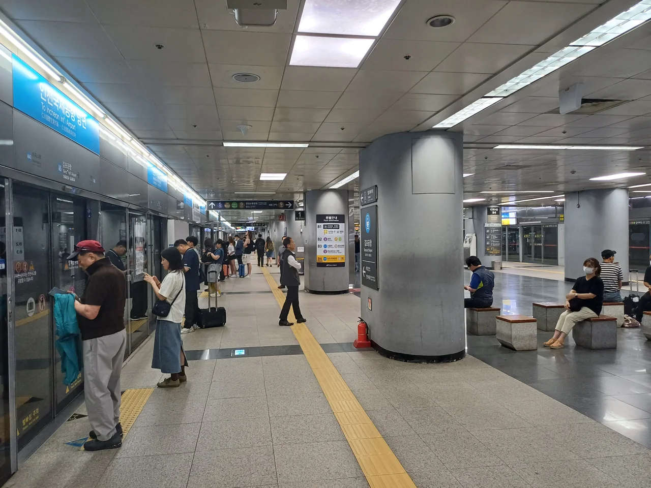
From Incheon Airport the rail option is AREX. Gimpo Airport Station is the one where five lines meet, so it has its own guide to Gimpo Airport. Line 5 runs to Gwanghwamun and the Line 9 express to Gangnam.
| Local train | Express train | |
|---|---|---|
| Payment | Transit card | Separate ticket |
| Stops | Several | Direct to Seoul Station |
| Seating | Standard train | Reserved |
The local train to Seoul Station costs 4,750 won in 59 minutes from Terminal 1, and 5,350 won in 66 minutes from Terminal 2. Which terminal you land at sets both numbers. Transfers are available at Hongdae, Gongdeok and Seoul Station.
You board it exactly like any other train, with no separate ticket. The fare is higher than an equivalent city journey because of the distance.
Where to get off
Among AREX stops, Seoul Station and Gongdeok have the most connections, four lines each.
Staying in the north of the city, use one of those. Staying near Hongdae, stay on until Hongik University station and walk.
From Gimpo Airport
Five lines stop there: Line 5, Line 9, AREX, Gimpo Gold and Seohae. One change usually reaches anywhere in the city, which makes it easier to connect from than Incheon.
With luggage
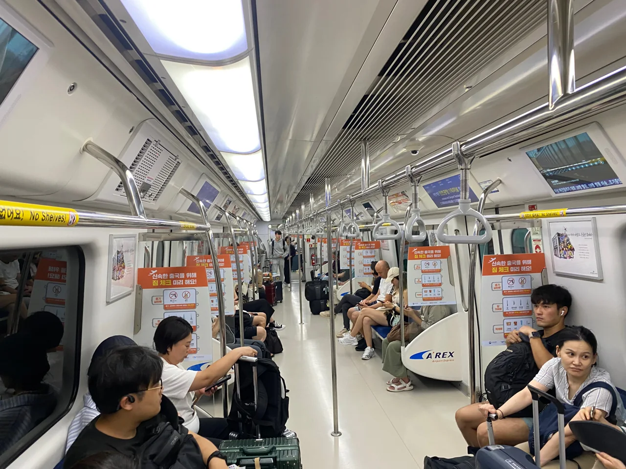
Trains have no dedicated luggage space. With large cases you end up in the area by the doors, which is difficult at busy times.
For the first trip in from the airport, an airport bus or a taxi is often the calmer choice. We compare the options in getting from Incheon Airport to Seoul.
A warning about tourist passes
Some unlimited passes do not cover the AREX section from Incheon Airport, even though they work in the city.
If you intend to use one on arrival, check the coverage before you buy.
Check your terminal before you fix the timing. Terminal 1 and Terminal 2 are 600 won and seven minutes apart for the same trip to Seoul Station. Your boarding pass says which one you land at.
13. You will want a map app
Nineteen lines and 103 interchanges. Finding the best route from the map alone is hard work.
Google Maps is limited here
Korean mapping restrictions mean Google’s routing is incomplete. Rail journeys generally appear, but walking and bus directions are unreliable.
What people here actually use is Naver Map and KakaoMap. Both have English interfaces. We compare them in the map app guide.
What the apps tell you
- How many transfers and how long each transfer walk takes
- Which car to board so you arrive next to the transfer passage
- When the next train is due
- Whether to take an express or a local where both exist
- Car-by-car crowding on some lines
The which-car advice is the most useful feature. At a large interchange it saves several minutes on its own.
Exit numbers matter
Every exit is numbered, and the number is displayed at street level too. Know which exit you want before you get off.
Large stations have more than ten. Surfacing at the wrong one can mean a long walk back at street level.
English is well covered
Station names are signed in English throughout, announcements are made in Korean and English, and every station has a code.
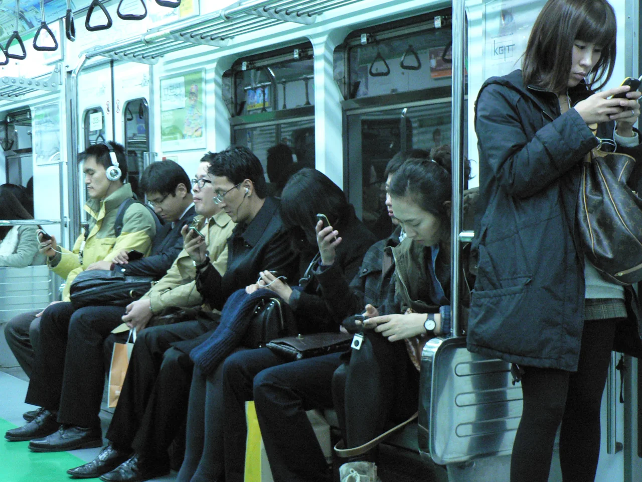
14. Station names cause confusion
With 578 stations, names start to collide.
Station codes are the reliable form
Each station carries a three-digit code: the line number followed by its position. Codes are printed on signs and shown in apps.
They work regardless of language. Telling someone “Line 4, station 424” removes all ambiguity. A station on several lines carries a code for each.
“Entrance” stations are not at the entrance
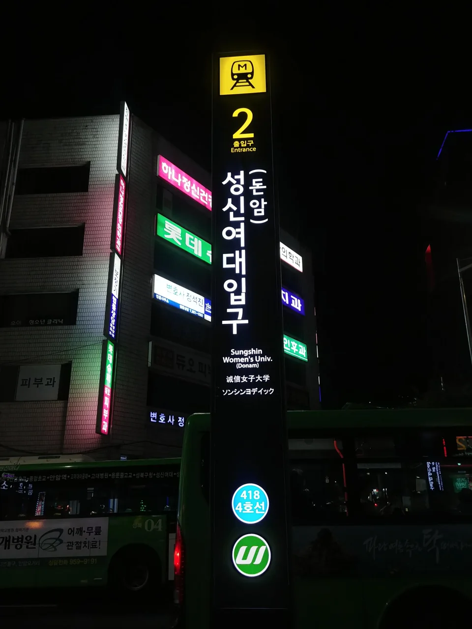
Hongik University Station and Konkuk University Station carry names ending in a word meaning entrance. They sit near those places rather than at their gates.
Seoul National University Station is a bus ride from the campus. Several stations work this way: the name describes the direction, not the doorstep.
Two Dongdaemun stations
Dongdaemun and Dongdaemun History and Culture Park are different stations. Both are interchanges and the names are close enough to trip people up.
History and Culture Park has three lines (2, 4, 5); Dongdaemun has two (1, 4). They are close enough to walk between, but changing lines means going from one to the other on foot.
Romanisation varies
The same Korean sound is sometimes written differently across signs and apps. Search by station code when the spelling does not match.
Save your destination in Korean
Keeping the Korean name of your hotel or destination on your phone helps for taxis and for asking directions, and it pastes cleanly into Naver Map and KakaoMap. Screenshotting it means you still have it when the signal drops underground.
15. Reading the map and the platform
A few conventions make the map easier.
Colours identify lines
Each line has a fixed colour, repeated on platform pillars, signage and train doors. Lines without a number are found by colour and name only.
Interchanges show multiple colours
On the map, a circle containing more than one colour is an interchange, and the number of colours equals the number of lines. Gimpo Airport carries five.
Finding your direction
Platform walls list the previous and next station. If your target appears on the “next” side, you are on the correct platform.
On the circular Line 2 this is the most reliable check, since inner and outer loop mean little until you are used to them.
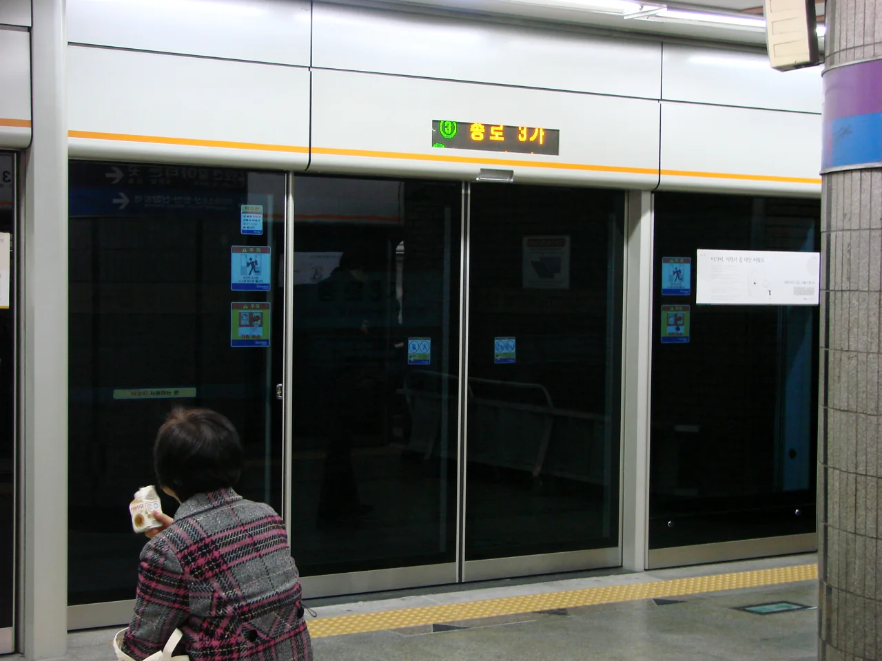
Platform screen doors
Seoul platforms have screen doors that open with the train. There is no open track edge, and platforms stay a little warmer in winter.
Boarding
Let passengers off first, standing to either side of the doors. Many platforms mark queueing positions with arrows on the floor.
Priority seats
Each car has priority seating at both ends for elderly and pregnant passengers, and these are generally left empty even when the car is full. There is also a pink priority seat in the middle of each car.
Phones
Talking on the phone in the car is frowned upon, and so is playing audio without headphones. Mobile signal works underground throughout the network, so people do take calls, but they keep them short and quiet.
16. When the bus is the better answer
The rail network does not reach everywhere, particularly uphill neighbourhoods and the area between the palaces and Namsan.
Transfers between modes are discounted
Subway to bus and bus to subway both qualify if you tap within the allowed window. Tapping out when leaving the bus is what registers it.
Buses are colour-coded
- Blue. Trunk routes across long distances
- Green. Local routes within a district
- Red. Regional routes to and from Gyeonggi
- Yellow. Short circular routes inside the centre
When to switch to a bus
If the walk from the station is over fifteen minutes or uphill, check the bus.
Namsan, the upper part of Bukchon and Buam-dong all fit that description. The station is at the bottom and the destination is above it.
Apps mix them for you
Enter a destination and you get combined rail and bus routes, including which bus number and which stop, and how long the walk is at each end.
Bus stop names are sometimes displayed in Korean only, so follow the app on screen rather than the signage.
Public bicycles
Seoul’s bike share has docks near many stations, and you can return to a different dock. It works well along the Han River and on flat ground, and for the awkward last stretch from a station. Seoul has plenty of hills, so it is not universal.
17. Luggage, children and step-free routes
Rail is the cheapest and usually the fastest option, but not always the easiest.
Large cases
There is no dedicated luggage space on the trains. Big cases end up standing by the doors, which is awkward when it is busy.
For the first journey in from the airport, a bus or taxi is usually less stressful with luggage.
Lifts
Most stations have them, though often at the far end of the platform, which means walking past the stairs and escalators to reach one.
Some stations run a lift straight to street level; others require changing lifts partway. Map apps sometimes show lift locations in the station detail.
Prams
Workable using lifts. Bear in mind that long transfer passages take a while with a pram, so a route with fewer changes may beat a faster-looking one.
Child fares
Children and teenagers pay less than adults, with thresholds by age. The exact bands and amounts change, so confirm at the time. Very young children generally travel free with an adult.
Wheelchairs
Staff can bring a boarding ramp where the platform gap requires it. Facilities vary station by station, so it is worth checking your route in advance. Older stations on the earlier lines are the ones most likely to be awkward.
Toilets
Some stations have them inside the gates and some outside. Inside means you need to have tapped in. Large stations usually have both, and signage shows which.
Children pay a separate fare. Ages 6 to 12 pay 550 won and ages 13 to 18 pay 900 won, against 1,550 for an adult. Under-sixes travel free.
18. Choosing where to stay
Near a station and well connected are not the same claim.
82% of stations serve one line
If the nearest station is one of those 475, every trip starts by travelling to an interchange.
Near one of the 103 interchanges, your options roughly double from the front door.
Which line matters as much as how many
A single line that happens to be Line 2, 3 or 4 covers a great deal on its own. A single line that runs out to the suburbs does not.
Stay inside the 10km ring
Almost all the sights are within 10km of City Hall, and 183 stations fall inside it. Staying outside adds travel time to every single day.
Think about the airport too
Being near an AREX stop simplifies arrival and departure. Hongdae, Gongdeok and Seoul Station all qualify.
Our Seoul accommodation guide works through the neighbourhoods.
Check the walk, not just the distance
500 metres on a map can involve a hill or a staircase. With luggage, look at whether the route is flat as well as how long it is.
Judge a neighbourhood by its lines. Only 103 stations serve two or more lines, and the other 475 serve one. Stay beside a single-line station and almost every trip begins by backtracking.
19. Common misunderstandings
Most of these come from the structure rather than from the signage.
“Subway” and “metropolitan rail” are different things
Strictly, Lines 1 to 9 are the subway and lines like Gyeongui-Jungang are regional rail. Searching for a “subway map” may return a diagram that leaves the regional lines out.
Line 1 does not run in one straight line
Its 102 stations divide partway. The same platform can serve trains going to different places. Read the destination on the train.
The Line 2 branches
Line 2 is circular but has two short branches, from Seongsu and from Sindorim. They are drawn in the same colour and run as separate trains.
Express trains skip stations
Where they exist, express and local services share a platform. Boarding the wrong one carries you past your stop. Operating hours vary, so check the app.
Gimpo Gold does not enter Seoul
Despite the name, it runs entirely within Gimpo City and terminates at Gimpo Airport. You change there to reach Seoul. It is only ten stations.
GTX is a different animal
Faster than the conventional network, with different operating sections and a different fare structure. Check the current position before planning around it.
20. How it compares with Busan
Setting Seoul against another Korean city makes the structure clearer.
| Seoul | Busan | |
|---|---|---|
| Rail lines | 19 | 4 |
| Operators | 10 | Few |
| Line naming | 1-9 plus 10 named lines | Lines 1-4 |
In Busan the numbers are enough
Four lines fit on one glance at the map, and there is rarely a decision to make about where to change.
Seoul has nineteen. Rather than learning the map, use the app.
Named lines are the Seoul-specific part
Busan has few lines without a number. Seoul has ten of them, more than half the network.
Arriving from Busan, the thing to internalise is simply that some lines are found by colour and name.
Seoul reaches far beyond the city
Busan’s system stays largely within Busan. More than half of Seoul’s 578 stations lie outside the city.
So with the same word, in Seoul you check how far a train goes before boarding.
What carries over
Fare structure, transfer discounts and transit cards behave similarly. Learn the system in one city and it works in the other. Our Busan subway guide covers that end.
21. What the numbers do not tell you
Counting lines and stations describes the shape of the network. A few things about riding it do not show up in that count.
Trains are frequent on the numbered lines
On Lines 1 through 9 you generally arrive on the platform and a train comes within a few minutes. There is rarely a reason to check a timetable.
The named lines behave differently. Gyeongui-Jungang, Suin-Bundang and Gyeongchun run at wider intervals, so turning up unplanned can mean a long wait.
The system is deep
Many Seoul stations sit well below street level, particularly the newer lines built underneath older ones. Getting from the street to the platform can take several minutes at some stations, which is time apps do not always show.
Escalators are common but not universal on every level of every station.
Some of the deepest platforms belong to the newer lines, which had to be threaded beneath everything already in place. Line 9 and the light rail lines account for several of them.
Interchanges vary enormously
Two stations can both be marked as interchanges and be nothing alike. At some, the platforms sit across from each other and the change takes under a minute. At others the walk runs several hundred metres.
The app shows a transfer time. Treat that number as part of the journey rather than an afterthought.
Rush hour is genuinely busy
Morning and evening peaks fill the trains, and some sections fill more than others. Travelling with luggage during those windows is difficult rather than merely uncomfortable.
Signage is consistent
Once you know the conventions, every station works the same way: numbered exits, colour-coded lines, station codes, previous and next station on the platform wall. Learning one station teaches you all of them.
That consistency is worth more than memorising the map. The system explains itself as you move through it, provided you know what to look at.
22. A first day on the system
Putting the pieces in order for someone arriving today.
- Get a transit card at the airport or a convenience store. Which one depends on how long you are staying.
- Install Naver Map or KakaoMap before you leave the airport, while you still have wifi.
- Save your accommodation in Korean so it pastes into the app and can be shown to a taxi driver.
- Check whether your card covers AREX from Incheon Airport if you plan to take the train in.
- Once in the city, find out which line your station is on and whether it is an interchange. That tells you how your week will run.
The first ride
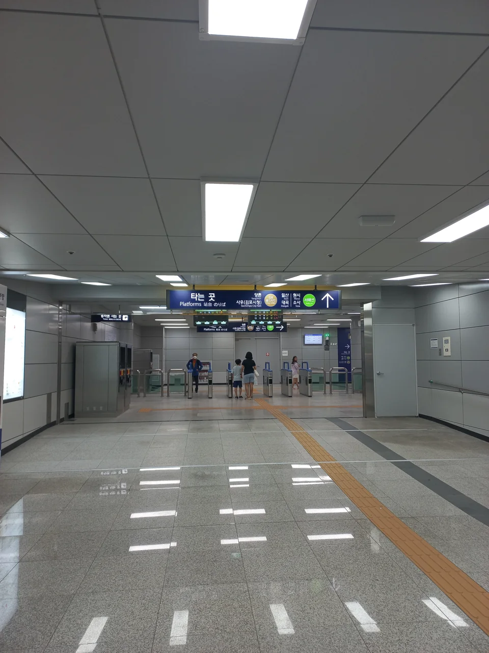
Tap the card at the gate, follow the colour of your line, and read the platform wall for the previous and next station. If the next station matches the app, board.
Tap out at the destination gate. Tapping out is what makes transfer discounts work, and on buses it is easy to forget.
If you get it wrong
Boarding the wrong direction is easily fixed: get off at the next station and cross to the other platform. Inside the gates this costs nothing.
On Line 2 you do not even need to cross, since staying on brings you back around eventually.
What to expect from the staff
Most stations have a staffed office near the gates. Ramps for wheelchairs, lost property and card problems are handled there. English varies, so having your destination written down helps.
Card top-up machines sit near the gates as well, and they have an English mode. Cash is accepted; foreign cards are not always.
An early start costs less. Tap in before 6:30am and the base fare drops 20 percent, to 1,240 won. The discount applies to that first ride only.
23. Putting it together
The whole system reduces to a handful of figures:
- 19 lines. Nine numbered, ten named.
- 578 stations, but only 183 inside the 10km ring where the sights are.
- 103 interchanges. The other 475 stations serve one line.
Planning a day
- Work out which lines your destinations sit on.
- Same line, and you simply order them along it.
- Different lines, and you check which interchange connects them.
- Two transfers or more, and it is worth reordering the day.
Where to stay
Near one of the 103 interchanges if you can. A single line is fine when it is Line 2, 3 or 4.
What to verify before you travel
The line and station counts and the interchange locations are stable. Fares, first and last trains, and express timetables are not.
In particular, Sinbundang and the AREX express are priced differently from everything else. Check before you board.
Where to go next
For which card to buy, see Climate Card vs T-money. For airport transfers, Incheon Airport to Seoul. For nationwide travel, getting around Korea, and for the city itself, our Seoul guide.
🎡Things to Do13
🚇Getting Around4
🧭All-Korea essentials120
Frequently asked questions
See the full Seoul travel guide
Images: Photographs via Wikimedia Commons: LMP 2001 (CC BY-SA 4.0), Striker9498 (CC0 and CC BY-SA 3.0), IRTC1015 (CC BY 2.5), MNXANL (CC BY-SA 4.0), LERK (CC BY 2.5), 바리반디 (CC BY-SA 2.0 KR), Marc Smith (CC BY 2.0), Udonhan1992 (CC0), Sgroey (CC BY-SA 4.0).